

Lines on the Land
Maps reveal more than streets and boundaries—they tell stories of people, power, and place across generations.
Limited-time exhibition
Feb 18, 2025 Jan 11, 2026
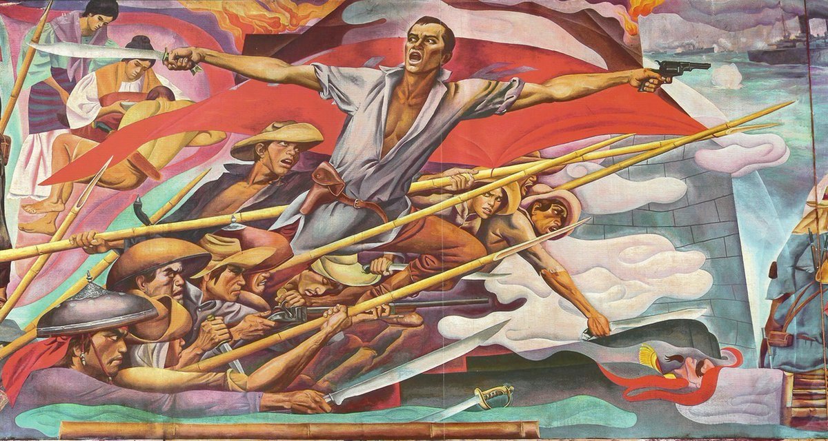
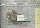
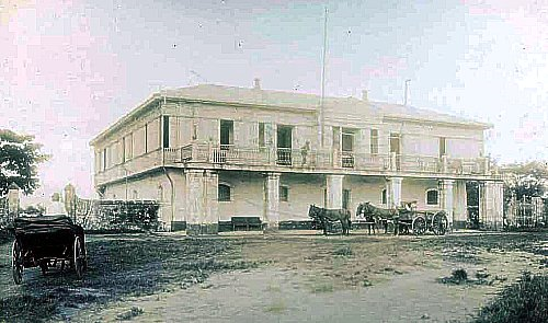
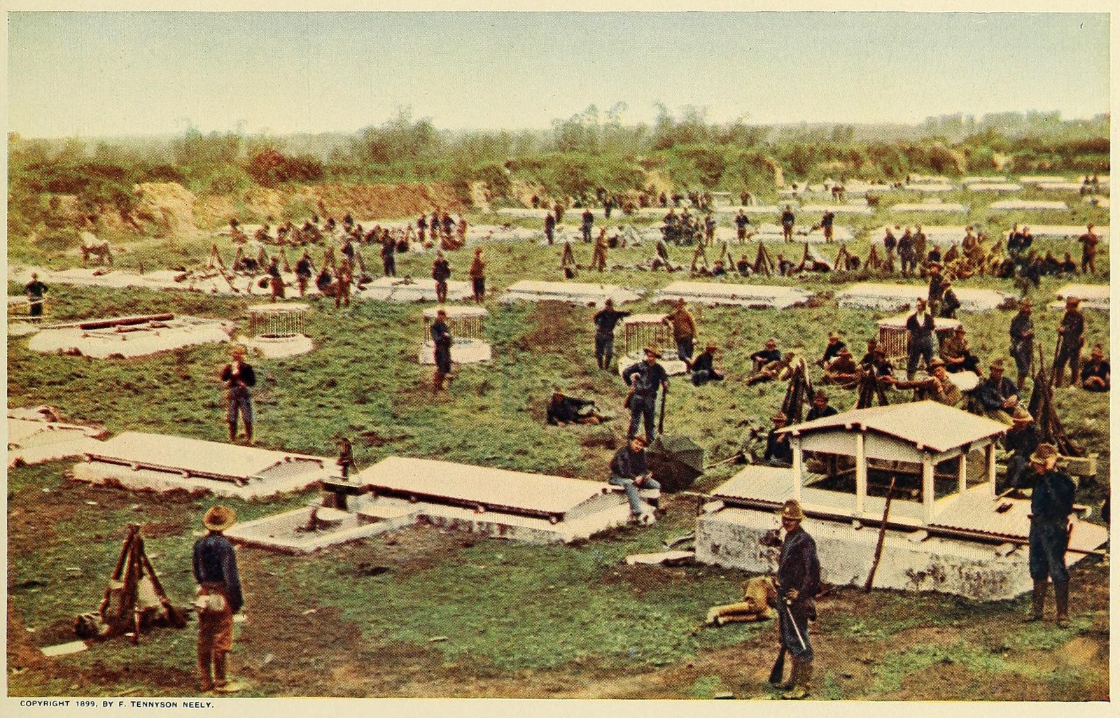
“Lines on the Land” presents the cartographic history of San Juan, tracing the district’s transformation through maps, surveys, and architectural plans. The exhibition highlights how different generations imagined and recorded the landscape, from Spanish colonial surveys to American military maps and contemporary urban planning documents.
Large-scale reproductions allow visitors to walk across floor-sized maps, comparing historical layouts with modern satellite imagery. A special section examines how waterways and aqueducts were represented, demonstrating their importance not only as infrastructure but also as boundary markers in shaping communities.
The exhibition also sheds light on the politics of mapping—who drew the maps, for what purpose, and what was left out. Residents’ sketches and local testimonies provide alternative perspectives, contrasting official maps with lived experience.
Visitors are encouraged to reflect on how maps are never neutral; they reflect priorities, power, and imagination. By exploring these themes, “Lines on the Land” underscores the role of cartography in understanding both history and identity.
Events and Activities